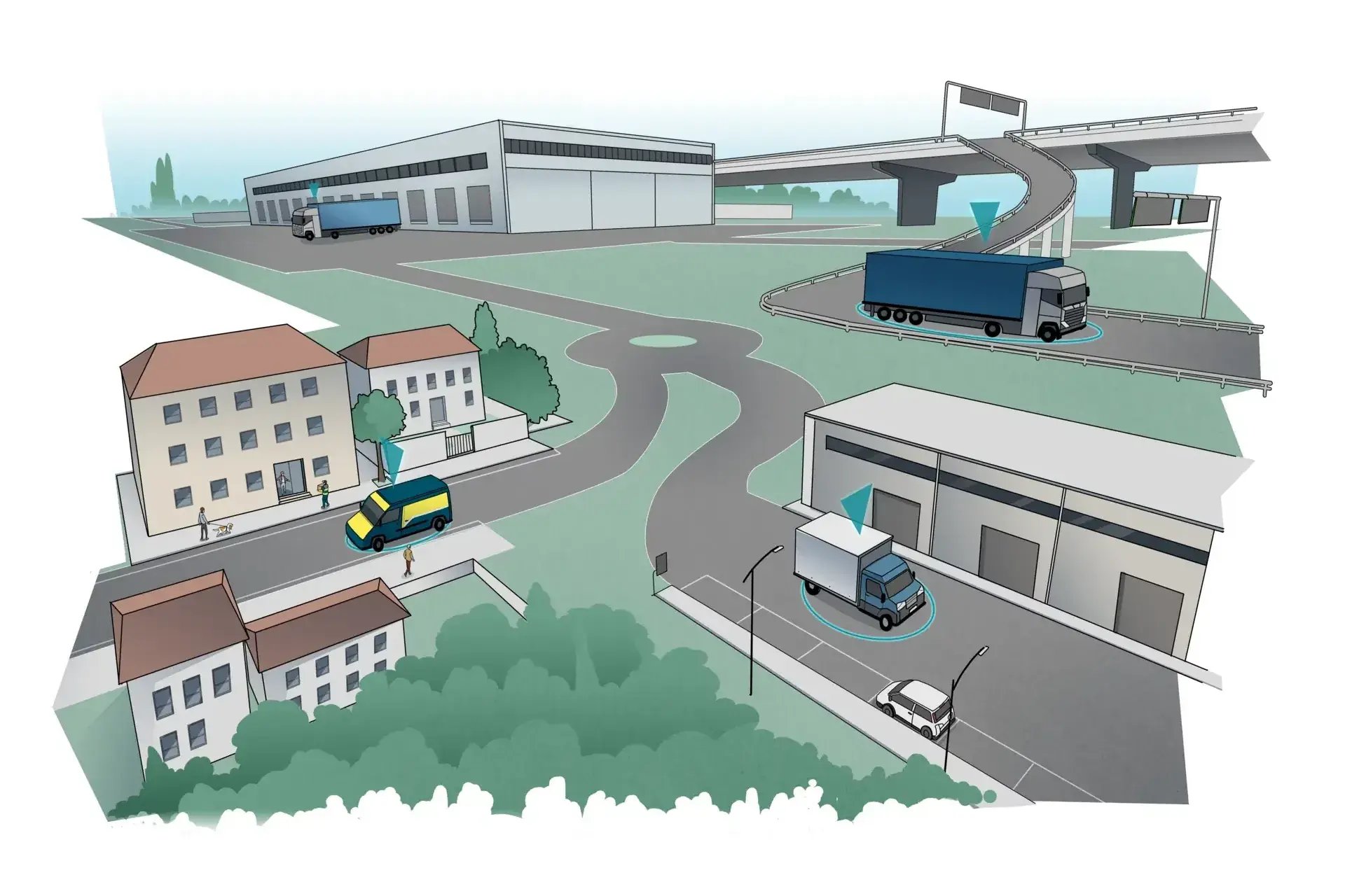
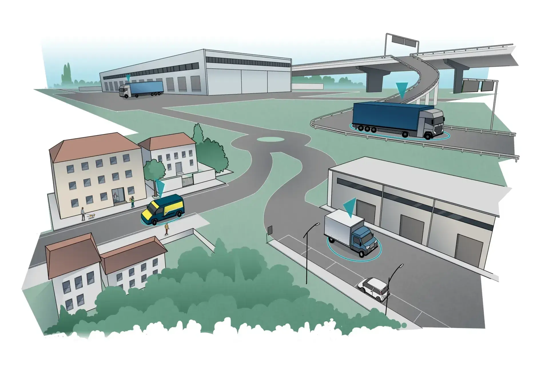
Vehicle tracking and monitoring of critical parameters for special goods during transport
- Locating and monitoring the positions of the vehicles that are transporting special products
- Managing the shipment of the right product at the right time
- Tracking the shipment and inventory procedures
- Tracking the physical characteristics of special commodities (temperature, humidity, shock, etc.)
Vehicle geographical tracking
Benefits of applying the RTLS solution to geolocation tracking of delivery vehicles and goods
Tracking e monitoraggio temperature nella cold chain
Localizzazione dei veicoli e delle unità di carico nel trasporto di beni sensibili alle temperature con monitoraggio dei valori in tempo reale

Questions and insights
Geolocating goods and vehicles with RTLS means using real-time location technology to display the precise position of industrial vehicles, cargo, and other assets on a digital map of a facility or site at any moment.
Ubiquicom's solution uses UWB technology indoors and GPS outdoors to continuously track forklifts, trucks, pallets, containers, and other assets.
Operators view live positions on an interactive map, can query route history to see where an asset has traveled, and receive automatic zone alerts when assets enter or exit defined geographic boundaries. The system replaces manual radio check-ins and guesswork with objective, real-time positional data.
Real-time geolocation transforms fleet management from a reactive to a proactive discipline.
Fleet managers can see all vehicles simultaneously on a live map, enabling immediate redeployment when demand shifts. Idle vehicles are visible instantly, allowing dispatchers to reassign them before bottlenecks form.
Route history analysis reveals inefficiencies such as vehicles taking unnecessarily long paths, spending excessive time in low-value zones, or making unauthorized detours. Speeding or harsh maneuvering events are logged automatically for safety follow-up.
Over time, the accumulated location data provides the basis for fleet right-sizing decisions, allowing organizations to reduce vehicle fleet size while maintaining throughput by improving utilization of existing assets.
Geofencing is the definition of virtual geographic boundaries on the digital map of a facility.
In Ubiquicom's system, operators draw zones representing specific areas such as loading docks, hazardous zones, restricted areas, or production cells. Rules are then assigned to each zone specifying which assets or vehicle types are allowed to enter, what the speed limit is within the zone, and what actions should trigger an alert. When a tracked vehicle or asset crosses a geofence boundary in violation of the rules, the system generates an immediate alert to the operator dashboard and can optionally notify a supervisor.
Geofencing is used for safety enforcement, process compliance, unauthorized access prevention, and automatic workflow triggers.
Yes, Ubiquicom's RTLS platform tracks both goods (pallets, containers, cargo units, raw materials) and vehicles (forklifts, tugs, trucks, AGVs) within the same unified system and on the same real-time map.
Tags attached to vehicles and tags attached to goods transmit location data to the same network of anchors and are displayed together in the platform. This combined view is highly valuable because it enables operators to see not just where a vehicle is, but also which load it is carrying, how long the load has been associated with the vehicle, and whether the vehicle-goods pairing matches the planned task. This removes ambiguity and prevents misdelivery of goods within the facility.
Real-time geolocation for goods and vehicles is used across a wide range of industrial sectors.
-
In manufacturing, it tracks forklifts, parts carriers, and components across production plants.
-
In warehousing and logistics, it monitors pallet trucks, reach trucks, and inventory across distribution centers.
-
In ports and terminals, it tracks yard tractors, reach stackers, and containers across large outdoor areas.
-
In construction and quarrying, it monitors heavy equipment and material movement across open sites.
-
In airports, it tracks ground support vehicles across apron areas.
Any operation managing moving assets across a large, multi-zone area will benefit from centralized real-time geolocation.
Ubiquicom's geolocation platform enables measurement of a broad set of operational KPIs.
-
Vehicle utilization rate measures what percentage of available operating time a vehicle is actively moving or performing tasks versus sitting idle.
-
Average cycle time measures how long it takes a vehicle to complete a defined task route.
-
Zone dwell time measures how long assets spend in specific areas, revealing bottlenecks.
-
Geofence violation frequency tracks safety and compliance incidents.
-
Fleet coverage density maps where vehicles are concentrated versus underserved areas.
-
For goods, dwell time in staging or receiving areas measures process speed.
These KPIs are available as real-time dashboards and historical trend reports within the platform.